The Danube Island is a central feature of Vienna’s cityscape and serves several important functions.
Originally constructed in the 1970s and 1980s as part of a flood protection project, it was designed to protect the city from the devastating floods of the Danube. Situated between the New Danube and the main river, it acts as a natural flood barrier.
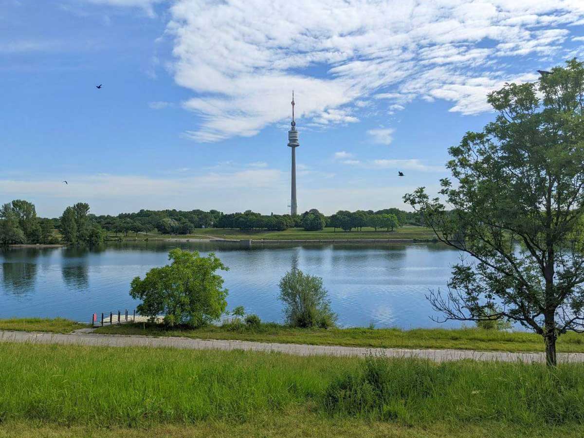
The path is a circular path which explores the island’s area between Kaisermühlenbrücke and Jedleseer Brücke starting at the U1 underground station Donauinsel. In this area you can experience the rich flora and fauna of the island. Reeds and floodplain plants grow along the shores, while willows, ashes, and poplars dominate the inner areas. Meadows support herbs like daisies and sage. Wildlife includes ducks, herons, songbirds, falcons, frogs, lizards, and grass snakes.
https://touren.labut.at/
https://touren.labut.at/
The New Danube is home to fish like pike and catfish. Insects such as bees and butterflies are common. The island is a vital urban refuge for nature. The Danube Island is a central feature of Vienna’s cityscape and serves several important functions. Originally constructed in the 1970s and 1980s as part of a flood protection project, it was designed to protect the city from the devastating floods of the Danube.
Situated between the New Danube and the main river, it acts as a natural flood barrier. Today, it is also one of Vienna’s most important recreational areas. Stretching over 21 kilometers, it offers a wide range of leisure activities such as cycling, swimming, jogging, barbecuing, and water sports.
It is especially famous for hosting the annual Donauinselfest, the largest free open-air music festival in Europe. In addition, the island is a valuable natural habitat, home to many species of plants and animals. As a successful example of modern urban planning, it represents environmental protection, quality of life, and a strong part of Vienna’s identity.
Total distance: 13907 m Max elevation: 164 m Min elevation: 155 m Total climbing: 35 m Total descent: -39 m Total time: 03:33:36